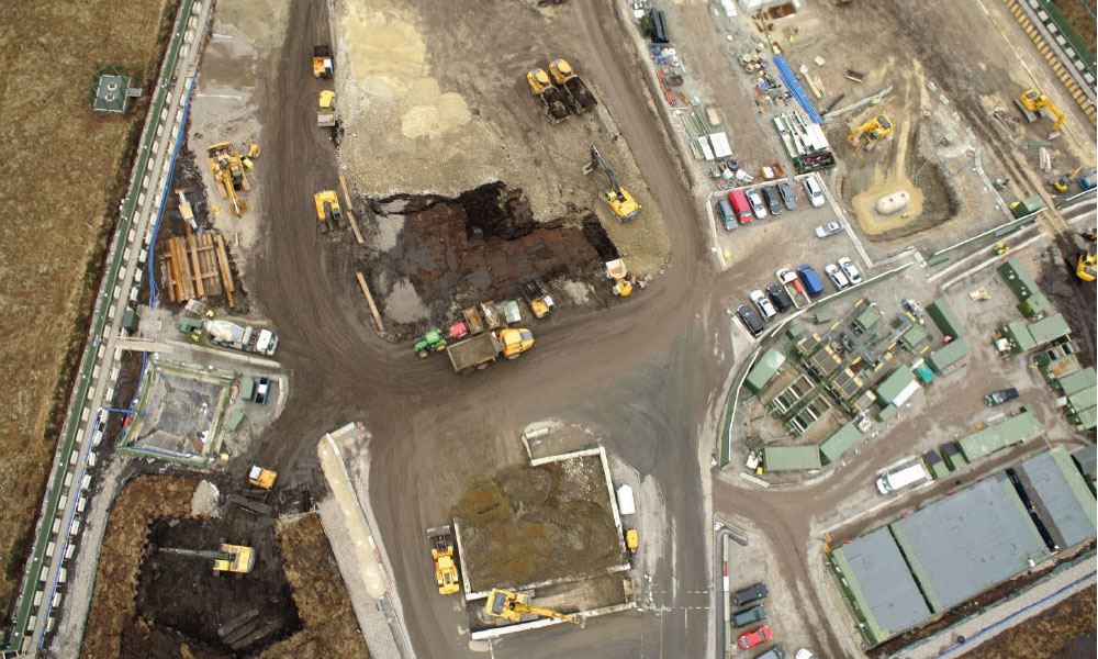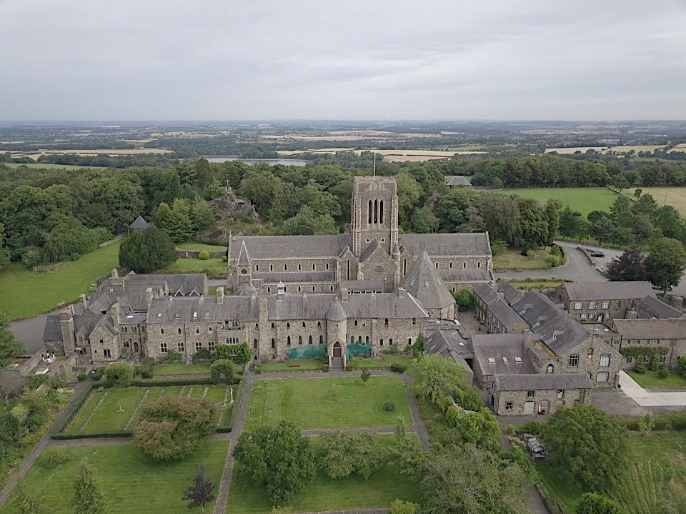
Aerial Surveying of Land

A quicker and more affordable alternative to hiring a helicopter for assessing large areas from height.

  • Birds eye view of development land
  • Agricultural, geological and environmental surveys
  • Imagery and video for events and promotion

Aerial Surveying of Property

An alternative to scaffolding or scissor lifts for analysing the condition of roofs and structures.
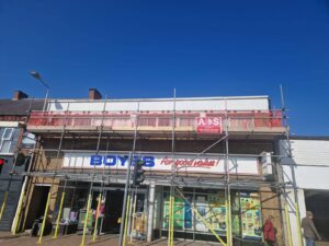
  • Roof surveys for obtaining repair quotes

  • Roof surveys for contractors assessing damage
  • Aerial surveys for assessing condition of structures and buildings

Aerial Surveying of Construction

A fast and reliable method for assessing construction sites. Drones can fly in any direction and get much closer to the action.
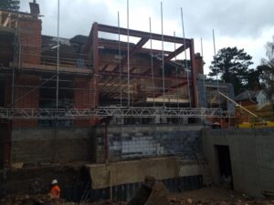
  • Time lapse photography to show progress on construction sites
  • Inspection of work taken out at height
  • Observe areas that are unsafe for workers

Aerial Photograhy & Videography for Estate Agents

A new cost effective method of creating more appealing content for the sales of property.

  • 4k imagery from any required angles of the property

  • 4k video of property from any required angle

See our work in action

We have a portfolio page showcasing a selection of our previous work